Field Equipment Deployment & Data Collection Begins for Greek Living Earth
Successful Field Mission in Amyntaio Marks Major Milestone for the Project
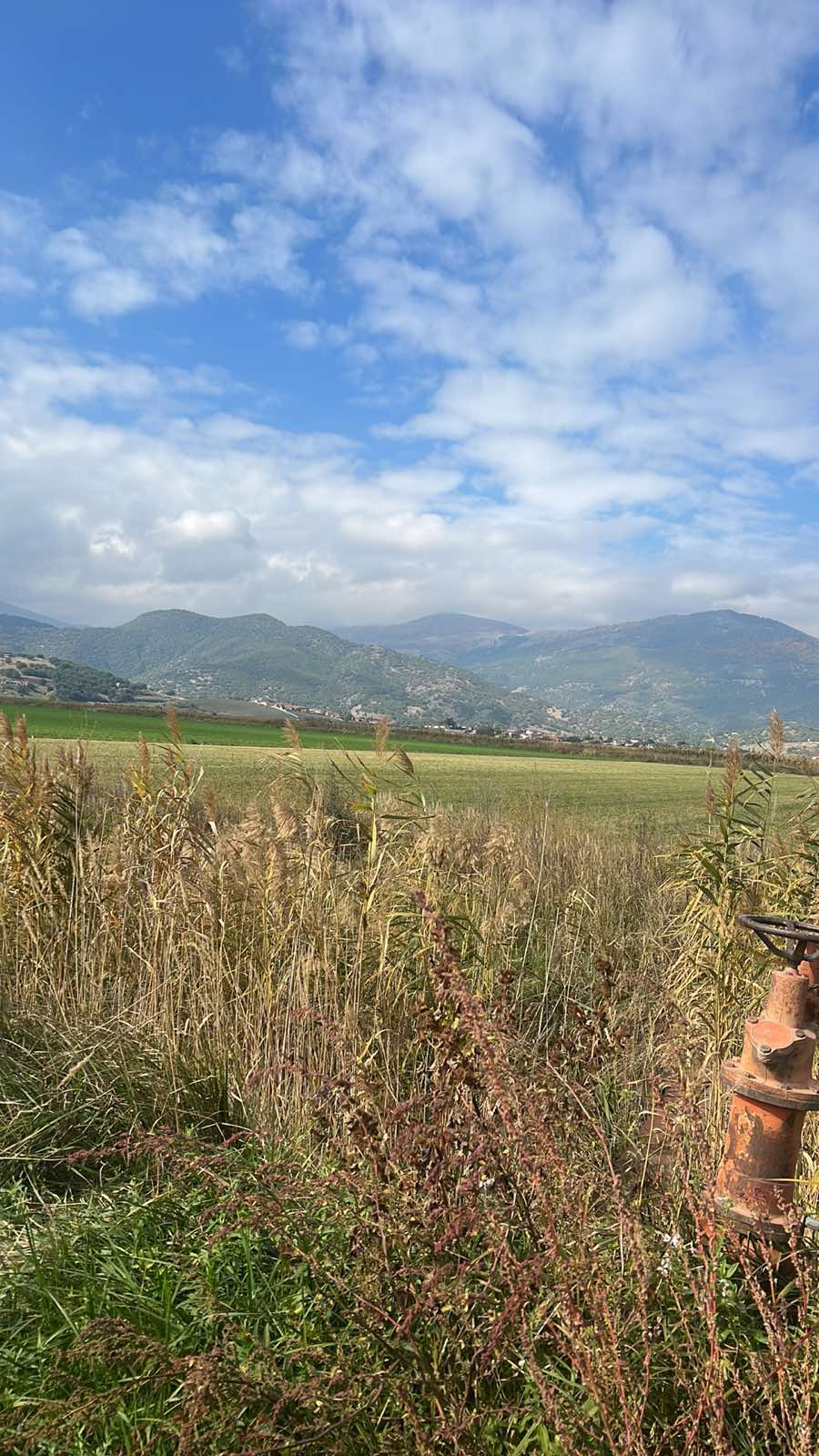
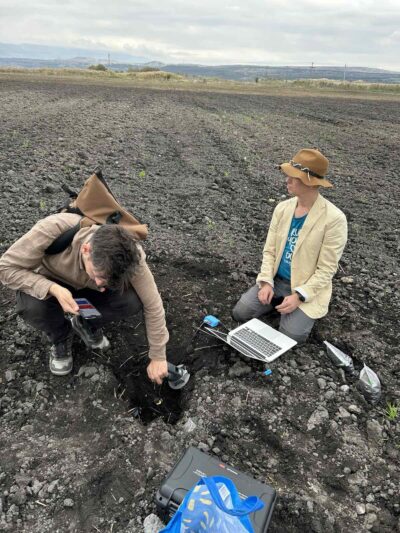
The Greek Living Earth (GLE) project has entered a crucial implementation phase, completing its first major on-site field mission in the wider area of Amyntaio, Florina, between October 20–24. The mission involved researchers and staff from the Aristotle University of Thessaloniki (AUTH), the University of Ioannina (UoI), HBI, and the Interbalkan Environment Center (i-BEC), with the primary objective of installing monitoring equipment and collecting the first soil samples.
Installation of Monitoring Stations & Technological Integration
As part of Work Package 4 (Data Population), teams from AUTH, UoI, HBI and i-BEC collaborated on installing key monitoring stations, working closely with Synelixis, the equipment supplier.
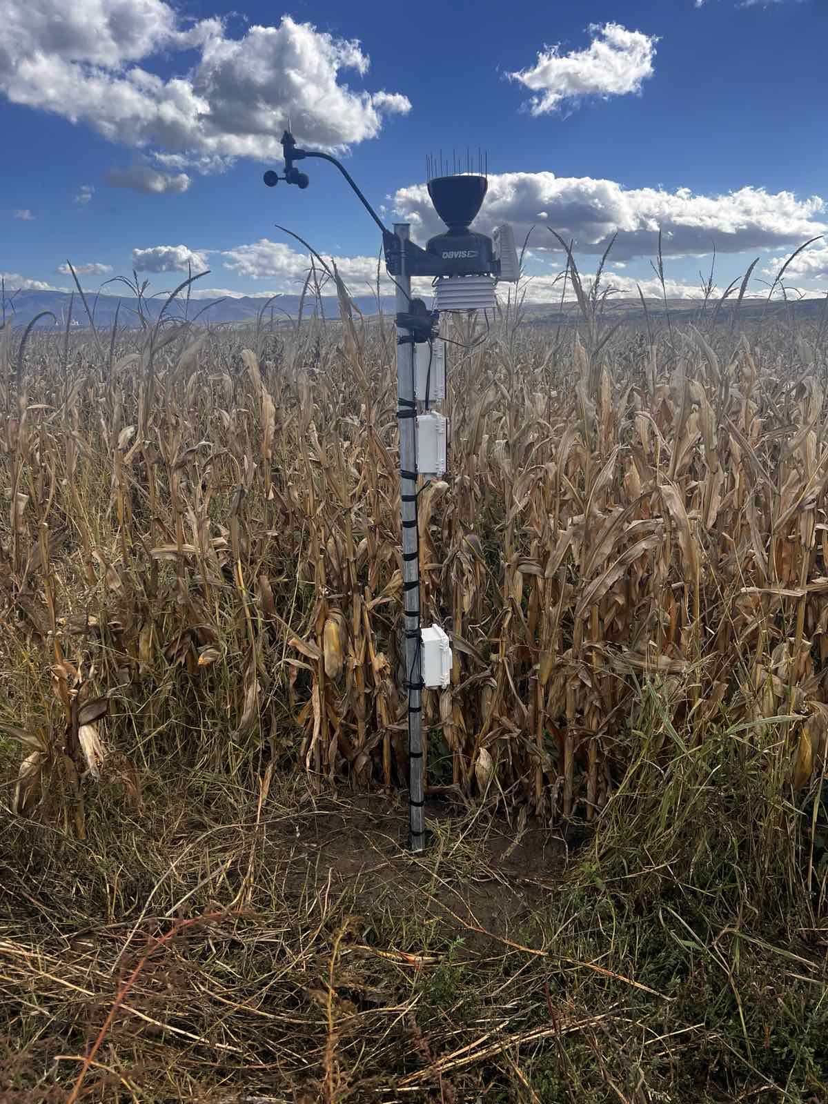
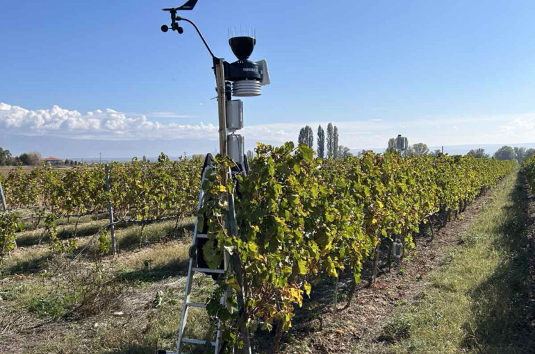
- Strategic Placement: Two full-scale monitoring stations were installed — one in a field with annual crop cultivation (corn) and the other in a linear perennial crop setting (vineyard).
- Operational Readiness: The stations, equipped with greenhouse gas emission sensors and meteorological devices, are now fully operational and transmitting live data to Synelixis.
- User Engagement: A brief demonstration of the station capabilities was given to local farmers, enhancing end-user involvement in the project.
Comprehensive Sample Collection & Aerial Mapping
As part of foundational work to train AI-based models (WP5), the consortium teams carried out a full round of sample collection and geospatial data acquisition:
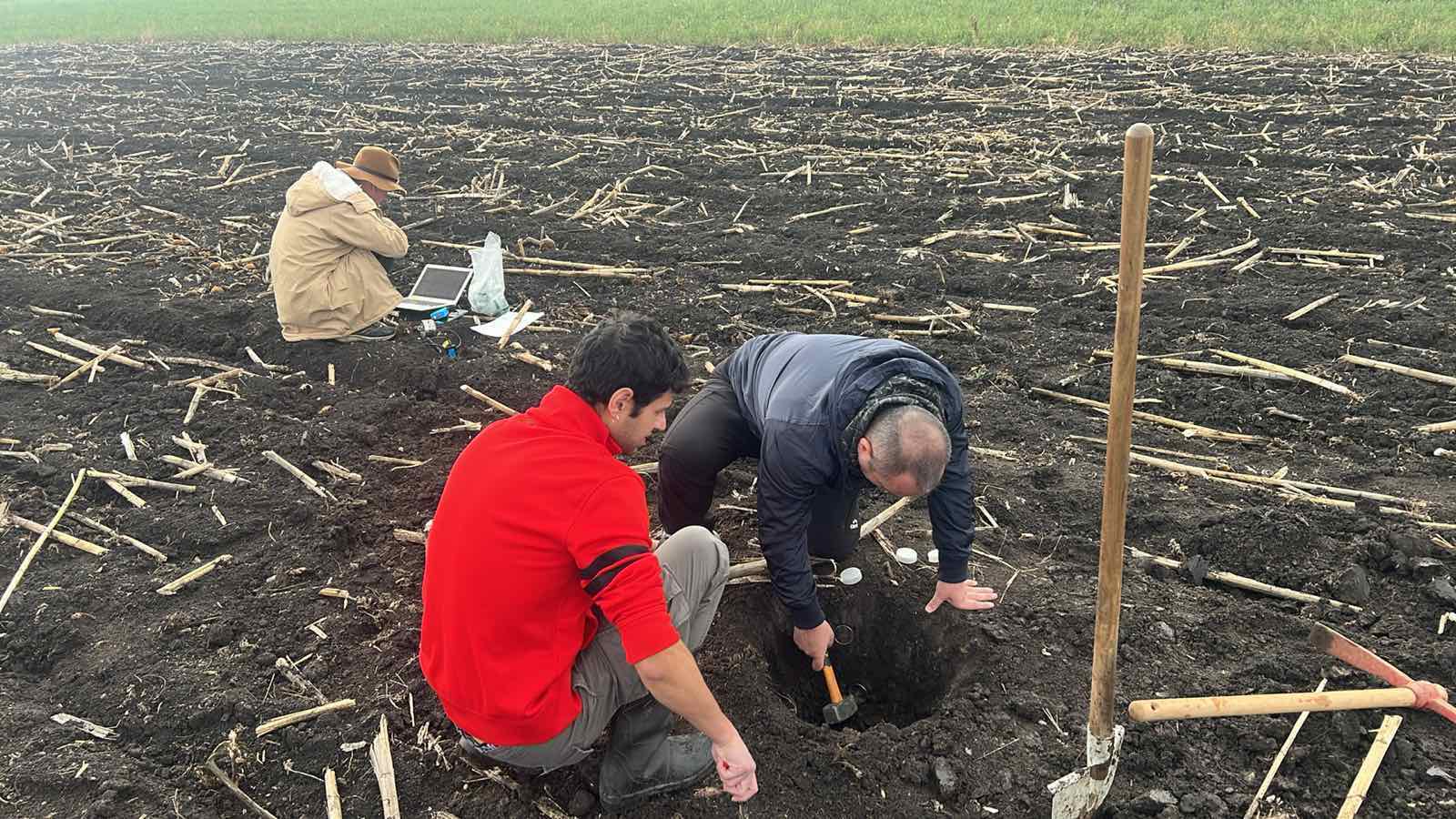
- Zoning and Ground Measurements: i-BEC conducted advanced zoning of the study area, based on soil-climatic and spectral features, and defined precise sampling points.
- Sampling Campaign: A total of 70 samples were collected from 35 locations at two soil depths (topsoil and subsoil).
- In-field Measurements: Critical measurements were taken on-site, including infiltration rate, CO₂ emissions, and spectral reflectance data.
- Laboratory Analysis: All samples were transported to i-BEC’s lab, where their physicochemical properties will be thoroughly analyzed.
- Drone Imaging: In collaboration with partners, AUTH carried out a drone flight over the study area to produce a Digital Terrain Model (DTM) and a high-resolution RGB orthomosaic map — key elements for enhancing the project’s geospatial accuracy.

Next Steps
The completion of the field mission marks the start of data streaming to the project’s digital infrastructure (WP3) and the ramp-up of laboratory analysis (i-BEC) and AI-based modelling (WP5). The analysis results will directly feed into the development of algorithms for the soil digital twin.
At the same time, very-high-resolution satellite data delivered by Terraspatium are being fused with IoT sensor data from the field and the results of the lab analyses. This data fusion process is crucial to enhance the spatial resolution of the final thematic maps under WP5 and to power the creation of the soil’s digital twin.