THE PROJECT
Τhe Greek Living Earth
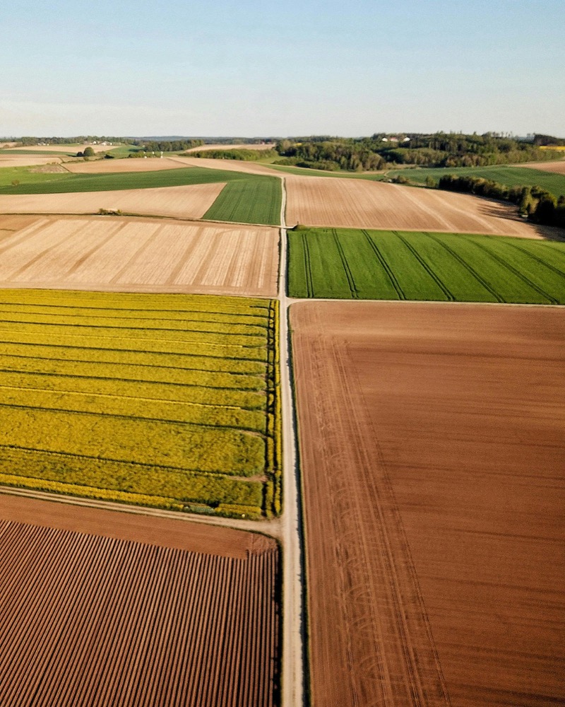
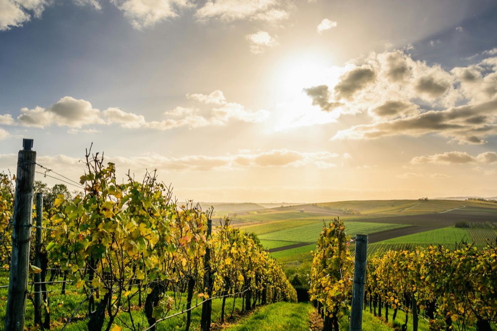
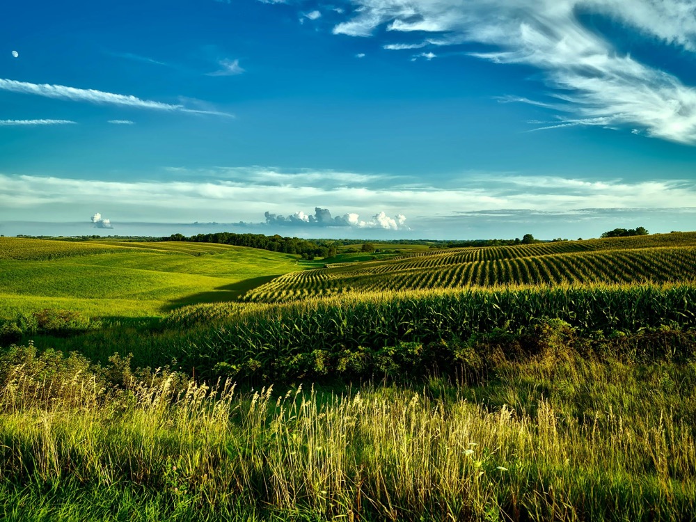
Greek Living Earth is a national-scale initiative aimed at developing a digital infrastructure for the collection, harmonization, analysis, and utilization of geospatial hyperspectral data.
PROJECT OBJECTIVES
Key Values
Integrated monitoring
of carbon flows
and stocks
![]()
Support for
carbon-sequestering
agricultural practices
![]()
Development of a
digital twin of
the soil in cultivated
areas
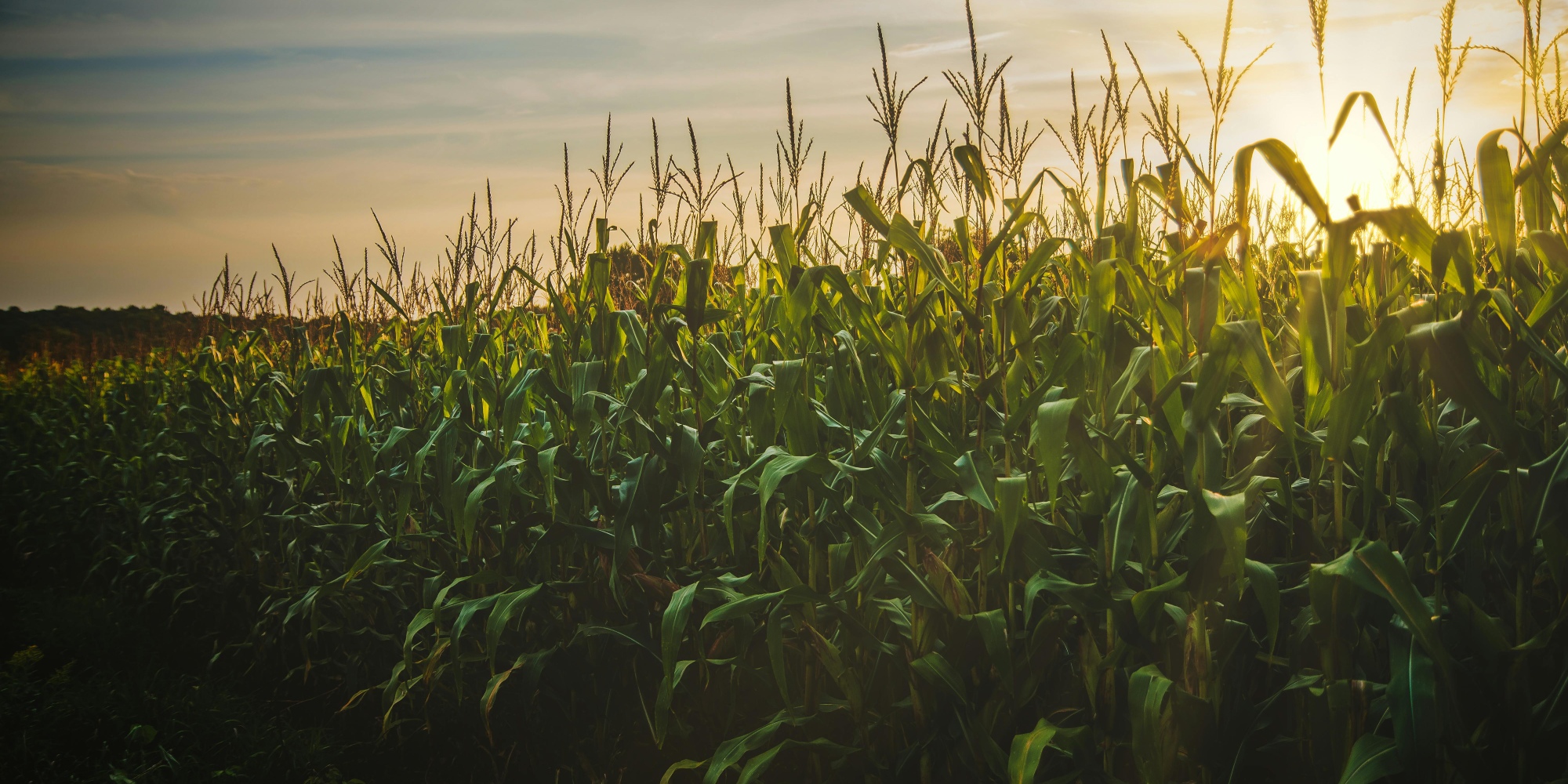
Greek Living Earth is an innovative national effort to digitally manage and protect Greece’s natural environment,
with a strong focus on Earth observation data and its practical applications in sustainable land use.
MONTHS
OBSERVATIONS
REGIONS
FARMERS
LATEST DATA UPDATE: 24.06.2025
Pillars of Management
METHODOLOGY
Project Methodology
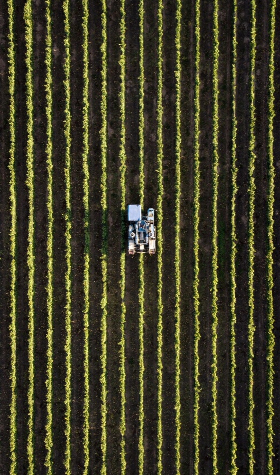
Greek Living Earth (GLE) is a bold and forward-looking project designed to build a national digital infrastructure for the holistic monitoring of carbon flows and stocks. Leveraging advanced geospatial technologies, AI, data analytics, and decision support systems, the project contributes to the transition toward sustainable agricultural practices and fosters innovation in the agri-food sector.
Communication Strategy
The project’s communication strategy plays a pivotal role in highlighting its technological achievements, disseminating the knowledge it generates, and engaging all relevant stakeholders. It also aims to foster public understanding and acceptance of the innovative solutions developed, bridging science, technology, and society.
The strategy is designed to inform and raise awareness among the general public, primary sector professionals, and policymakers about the transformative role of digital technology in the sustainable management of natural resources and in addressing the climate crisis.
Particular emphasis is placed on making the results accessible, ensuring that the tools are understandable by all users, and facilitating their practical implementation.
The strategy promotes open communication and dialogue, encouraging participation, collaboration, and co-creation, with the ultimate goal of shaping a more environmentally responsible, informed, and resilient society.

